The Esopus outlet had a natural development eons before it had an historical development and the Saugerties lighthouse's location explains both processes - 1,240 words
The Shoals
|
Before the structures of documented history now forgotten there were the land forms where their history happened. That is a perpetual presence far more difficult, if not impossible to ignore.
An event thought to be a massive ice jam at the earliest stages of the last glacial period caused the Hudson River above Kingston to inundate the land to the 220 foot level and freeze solid. When the lead tongue of the great glacier met the valley from the northeast it slid right over the more ancient land forms under this frozen lake.
As the great weight of the glacier made heat from its pressure this frozen lake experienced an early melt that made flumes through the more ancient geology at its base as the water eroded an outlet tunnel to the river and to the ocean.
One of these channels etched a groove into a vein of soft limestone running parallel to the Hudson River at Kingston. During the height of the glacier's impact, for thousands of years, this gouged out ever deeper its exit into the Hudson River at Saugerties.
When the Glacier had receded the course of this gorge ran parallel to a long outcrop of rock that formed a barrier wall separating a massive lake overflowing with the waters of all the streams of the eastern face of the Catskill mountains. The only thing that separated this lake from the gorge was the same limestone that had been etching away for eons.
Within recent geologic time that limestone weakened from the pressure of the lake and collapsed. In a great flood all the water of this lake cascaded into the small stream at the base of the gorge with such a force that the rock lining its the steep walls above were dislodged and propelled with increasingly greater force against downstream walls until a massive debris flow moved with such momentum that it was all propelled a mile out into the cavernous depths of the Hudson River channel. This filled the river completely for miles, even scouring a cliff face into the opposite shore. It made such a dense mass that not even the great current of the Hudson has been able to remove it to this day. This is the Esopus Shoals.
Today the Saugerties lighthouse stands on the edge of these shoals where they end abruptly at the depths of the Hudson River's shipping channel. Standing on the lighthouse's base, you look over one of Hudson River Valley history's most prominent assets. The lighthouse and the equally evocative land form of the Long Dock mark a natural and cultural marvel.
Henry Hudson had to pilot the Half Moon to exactly this place on the river because the deep channel has always been here. There is little doubt that the first Europeans to get the first long view of the great continent of America got it from this point. The lighthouse is constructed on a crib of stone. Its surface is the height above the water of the Half Moon's deck. The tower's lamp room is the height of the lookout of the Half Moon's mast. So in September of 1609 the first group of people ever to be inspired with a vision of an American future began that by examining the horizons seen from this place: contemplating the distant face of the Catskill Mountains; the ebb and flow of the river; the struggle of the forces that converged here to assimilate the Esopus into the Hudson.
What amplified this first impression was an imagining of what flowed from the cleft in the walled bank of this arm-of-the-sea. Friendly souls came from that stream carrying in their canoes gifts. They brought to Henry Hudson's Half Moon crew a cascade of insight into the potential of the land that uncharacteristically motivated them to survey and log the resources of this place, reinforcing the memory of their vision by identifying and enumerating it in detail.
|
Scattered documents from history carry the story from here. This mass imagining had been published throughout Europe. The first was a 1618 patent to John Wyncop for settling separatists into a colony in “North Virginia”. This ending up hijacked to Plymouth. The Dutch then sent shiploads of Walloons to establish their own flag as New Netherlands and finally divvied everything up among the Patroons. This is all generally known.
What is more specific is that as all this is happening the Esopus Shoals was a barrier that deftly kept interest at a distance. The potential behind them watching and waiting as colonial period sloops passed bearing furs, as Revolutionary War ships anchored and blasted houses, and as the early decades of the new Republic lurched by on the first steam boat.
Then, just as the celebratory barge of the newly completed Erie Canal carried water from far across the misty Catskill peaks that first impressed those ancient mariners, the Esopus Shoals lifted the veil. Within a dozen years the first lighthouse was built to mark that nearly lost moment in our race memory.
Within the single year of 1825 enough material was floated through the shoals to build and equip two factories and to construct enough housing to support a population that increased ten-fold over the previous sixty souls that were tilling this land over the decades before.
Before 1839 when the first lighthouse was built and a channel was made deep enough to admit a steam boat everything was rafted or ferried through the shoals from warehouses on the river's eastern shore or it was carted from Bristol two miles north or Glasco two miles to the south where channels on the west shore allowed steam boats to land. By the time a passage was deepened through the Esopus Shoals the river traffic was servicing a population of thousands.
By the late 1870's, the Long Dock was built because the output of the mills and industries in the surrounding town needed a quicker connection to the river then the long channel through the shoals. The population of the Village was four thousand and the town surpassed that, all pressing on this one waterway. This single channel was supporting the town with the largest population in Ulster county.
In the decades around the turn of the century the channel through the shoals had been deepened and widened but the Esopus Shoals still performed its age old purpose. It managed its environment, resisting the run-away shore-based development the river traffic brought north and south of it. By its intractable character it forced the population to spread the transportation base inland to the railroad and to create some of the first paved automobile roads in the state. Being this physical barrier brought the benefit of a preserved scenic character to the waterfront that many other communities were loosing as the century came to a close. That made this shoals shoreline a mecca for those that appreciated this earlier scenic quality.
Sometime around a century into this “culture-forming” exercise, the Esopus Shoals began to return to nature. The well tended channel that welcomed the passenger-bearing steamboat and ferry was no longer necessary as bridges were built and the highway replaced the river. In the brief period between the opening of the Erie Canal and the opening of the Thruway a legendary past not possible anywhere else had been orchestrated under the direction of these Esopus Shoals.
|
 The Great Knot, April 27, 2011 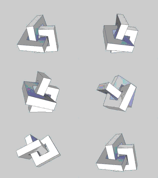 Michael Sullivan Smith, 2015 Click on animation to open parent web site greatknot.com in new browser window |